Equipment & Methods
Technology
Professional-grade diagnostic equipment and data collection platforms used in the field to deliver accurate, actionable results.
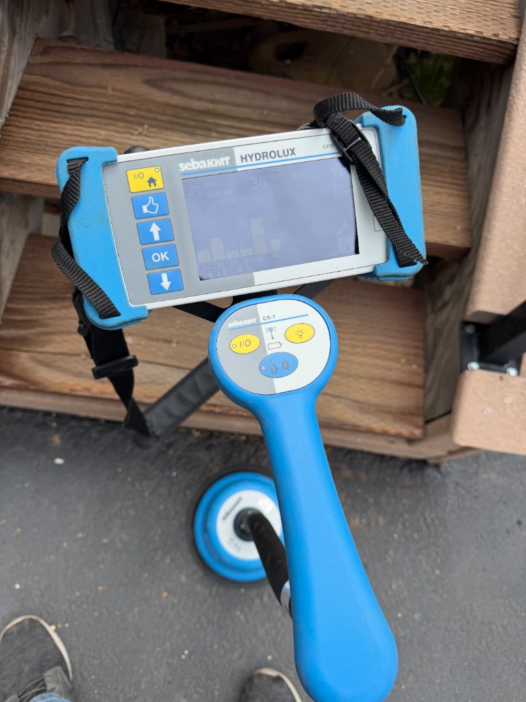
SebaKMT Hydrolux System
Acoustic Leak Detection
Professional-grade acoustic correlators and ground microphones for locating leaks in pressurized water mains. Detects leaks under concrete, asphalt, and soil without excavation.
- Leak correlation across pipe sections
- Ground microphone scanning
- Sensitivity calibration per pipe material
- Works on water, compressed air, gas systems
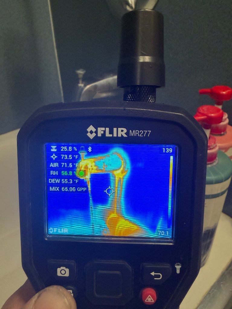
FLIR Infrared Camera Systems
Thermal Imaging
Radiometric thermal imaging cameras for detecting temperature anomalies associated with water intrusion, moisture damage, slab leaks, and building envelope failures.
- Sub-degree temperature resolution
- Moisture and heat loss identification
- Building envelope surveys
- Drone-mounted thermal systems available
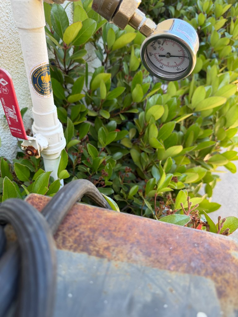
System Isolation & Testing
Pressure Testing & Diagnostics
Precise pressure testing equipment for isolating plumbing systems, verifying integrity, and quantifying loss rates across domestic water, irrigation, fire suppression, and gas systems.
- Pressure decay testing
- Zone isolation and mapping
- Flow and loss rate quantification
- Documentation for regulatory compliance

Subsurface Utility Locating
Ground Penetrating Radar (GPR)
High-frequency GPR systems for non-destructive subsurface investigation — mapping buried utilities, detecting voids, and documenting subsurface conditions for construction and engineering.
- Utility depth and location mapping
- Void and cavity detection
- Rebar and conduit locating
- Real-time data visualization
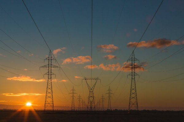
FAA Part 107 Operations
Drone Platforms
Multi-rotor and fixed-wing drone platforms equipped with RTK GPS, thermal cameras, RGB sensors, and LiDAR payloads for inspection, mapping, and aerial photogrammetry.
- RTK GPS for survey-grade accuracy
- Thermal + RGB dual sensors
- Photogrammetry & 3D modeling
- FAA Part 107 certified pilots
Esri ArcGIS & Field Collection
GIS & Data Collection
Enterprise GIS platforms for data collection, analysis, and deliverable production. Field data captured with GPS-enabled devices and integrated into client asset management systems.
- Esri ArcGIS compatible deliverables
- CAD integration (DXF/DWG)
- KMZ/KML for Google Earth
- Custom reporting and data exports
Field-Ready for Your Project
Our teams deploy professional equipment to your site across Northern California and Nevada. Contact us to discuss the right technology for your project.
Request Consultation