What We Do
Services
Advanced infrastructure diagnostics, utility mapping, and inspection services for municipal, commercial, engineering, and industrial clients.
Utility Mapping
Accurate underground utility mapping using Ground Penetrating Radar (GPR), electromagnetic locating, and GPS data collection — producing GIS-ready deliverables for engineering, construction, and asset management.
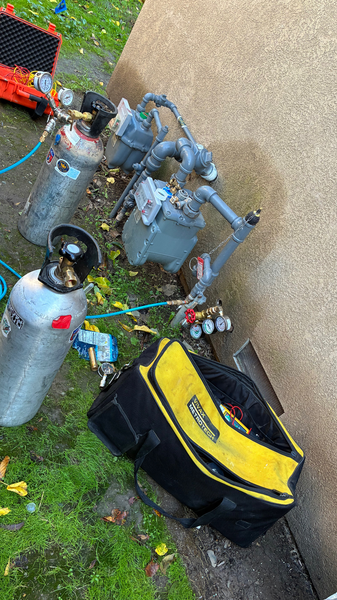
Leak Detection
Advanced leak detection across water distribution, sewer, and gas systems using acoustic correlation, tracer gas, thermal imaging, and pressure diagnostics — from municipal water loss surveys to commercial and industrial systems.
Drone Services
Professional drone operations for thermal inspections, aerial photogrammetry, utility corridor mapping, and RTK surveys — delivering high-resolution data products for engineering and infrastructure clients.
Infrastructure Assessments
Structured field investigations for public agencies, utilities, and facility owners — documenting infrastructure condition, identifying vulnerabilities, and providing actionable reporting for capital planning.
Building Diagnostics
Non-destructive building envelope investigations combining thermal imaging, moisture mapping, and pressure diagnostics to identify water intrusion pathways and moisture damage.
Ready to Get Started?
Contact our team to discuss your project requirements. We'll respond within one business day.
Request Consultation