Our Work
Project Portfolio
Field projects across utility mapping, leak detection, drone inspections, and infrastructure assessments throughout the western United States.
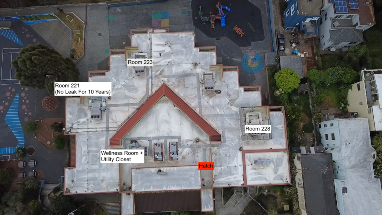 Leak Detection
Municipal Water Loss Survey
Identified 14 active leaks across 8 miles of distribution main, reducing estimated water loss by over 40%.
Infrastructure AssessmentsCommercial Campus Diagnostic
Located hidden slab leak causing foundation moisture infiltration; provided insurance-ready documentation.
Leak DetectionThermal Imaging Investigation
Pinpointed active moisture intrusion behind exterior wall without any demolition; repair completed same week.
Drone InspectionsAerial Infrastructure Survey
Delivered high-resolution ortho imagery and 3D point cloud for a 120-acre utility corridor.
Utility MappingPre-Construction Utility Survey
Mapped 2.3 miles of unknown subsurface utilities prior to major road reconstruction project.
Municipal ProjectsWater District Asset Assessment
Documented over 200 infrastructure assets for a small water district capital improvement plan.
Start Your Project
Ready to discuss your infrastructure diagnostics needs? Our team is here to help.
Request Consultation